
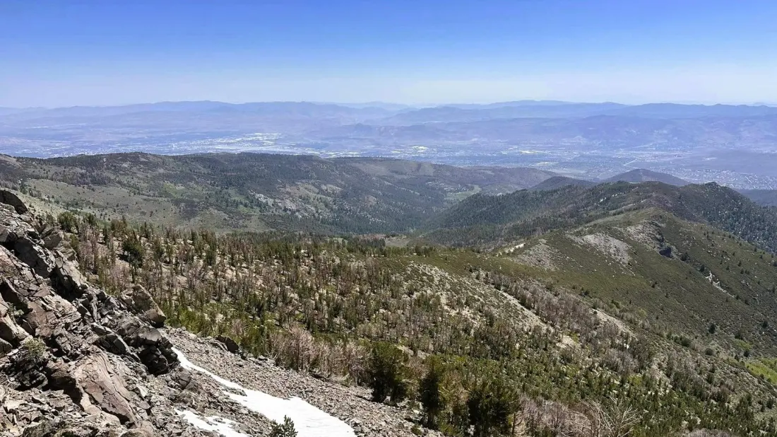
Reno's hiking scene gets dominated by one name: Mount Rose. But tucked between the casinos of Reno and the beaches of Lake Tahoe, the Thomas Creek Trail climbs the flank of Snowflower Mountain and delivers similar Sierra panoramas with a fraction of the crowds.
The trailhead sits about 20 miles from both downtown Reno and Lake Tahoe's north shore, and there's no entry fee or permit needed for a day hike. The route splits into two distinct experiences. The Lower Thomas Creek Trail, starting from Arrowcreek Park, is the moderate option — a mostly gentle path that follows the creek through sagebrush hills before turning rocky and steep in the canyon, eventually opening up views over Reno and the Carson Range. Expect to share the dirt track with mountain bikers, especially near the start.
The Upper Thomas Creek Trail is the serious undertaking: roughly 15 miles round trip, with a steady grind of switchbacks toward Snowflower Mountain. Reviewers on AllTrails call it challenging but fair — the incline is gradual rather than brutal, and the payoff is sweeping views across Reno northeastward, over Washoe Valley, and across evergreen-dotted hills. Around six miles in, the trail meets the Rim to Reno Trail inside the Mount Rose Wilderness. From there you can turn back, or leave the marked path for an off-trail ridge scramble to Snowflower's summit — one for experienced hikers with navigation skills.
Along the way you'll cross the creek several times, pass a local landmark rock outcropping known as Rainbow Rock, and, in spring and early summer, walk through patches of wildflowers. The higher you go, the quieter it gets — creek noise, chipmunks and birdsong replacing the traffic below.
Practical notes: the trailhead is open year-round, but winter snow and ice can make navigation tricky. Shade is patchy despite the forest sections, so sunscreen matters in summer, and bring more water than seems reasonable — the dry high-desert air is deceptive. A map (offline, ideally) is worth carrying since the upper route's turn-offs and ridge section are not always obvious.
This one suits travellers who want a real wilderness workout without permit lotteries or crowded summits, and anyone road-tripping the Reno–Tahoe corridor looking for a half-day or full-day leg-stretcher. Casual hikers should stick to the lower section and turn around when it gets punishing; keen hikers can make a full morning of the upper trail and still be back in Reno for dinner.