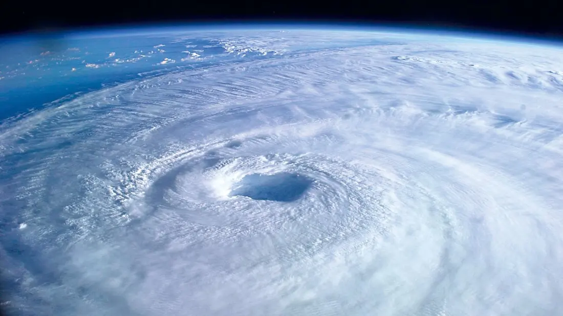
Hurricane, typhoon, cyclone — same beast, different address. Meteorologist Simon Rowell breaks down, for Yachting World, how tropical revolving storms (TRS) form and what a sailor should actually do when one is out there with your name on it.
The naming depends on location: hurricanes in the North Atlantic and East Pacific, typhoons over the West Pacific, cyclones elsewhere. In the North Atlantic, storms are rated on the Saffir-Simpson scale from tropical depression (up to 34 knots) through Category 1 (64–82 knots) to Category 5, which means sustained winds beyond 135 knots. Anything at storm force or above gets a name — a warning flag in itself, though a named system won't always grow into a hurricane.
Six ingredients need to line up before a TRS spins up: moisture through the mid-troposphere, enough distance from the equator (more than 5°) for the Coriolis effect to create rotation, weak vertical wind shear, upper-level divergence letting air escape the top, a convective trigger such as a tropical wave, and sea surface temperatures above 26°C down to at least 60 metres. Since only the last one is strongly seasonal, storm seasons follow the warmest water: roughly June to November in the North Atlantic (starting in the western Atlantic and Caribbean) and November to April in the South Pacific.
If your electronics die, there are low-tech tells. Tropical-storm-force winds typically extend about 150 miles from the centre — 300 miles in a big system. A long swell from the east (12–15 seconds rather than the usual 7–10) can hint at a storm hundreds of miles away, as can high cirrus thickening into cumulonimbus walls and rain bands 200–400 miles out. And watch the barometer: pressure in a TRS eye can plummet (Hurricane Gilbert hit 888hPa in September 1988), and the storm's 'pumping' action wipes out the normal daily pressure rhythm.
The nastiest part of a storm is the 'dangerous semicircle' on its polewards side, where the storm's forward motion adds to the circulating winds — Rowell cites Hurricane Isabel in 2003 with 100-knot sustained winds there versus 70 knots on the 'navigable' side. To work out which side you're on, use Buys-Ballot's law: stand with your back to the wind, and the storm centre lies to your left in the northern hemisphere, your right in the south (angled about 15° in towards the low). If that bearing veers south in the northern hemisphere, you're in the dangerous semicircle — and because storms track at 15–25 knots and tend to recurve polewards, one can literally follow you.
Escape routes: in the dangerous semicircle, either cross ahead of the eye into the navigable side, or harden up on starboard tack (port in the south) and run with the storm. On the navigable side, stay on starboard but bear away and open the distance from the eye's track. Neither option is comfortable, but knowing which half of the storm you're in could save the boat.
For anyone sailing the Caribbean in summer or the South Pacific cyclone season, this is the sort of briefing worth reading twice.
Thanks to Yachting World for the original briefing.